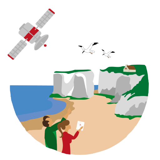
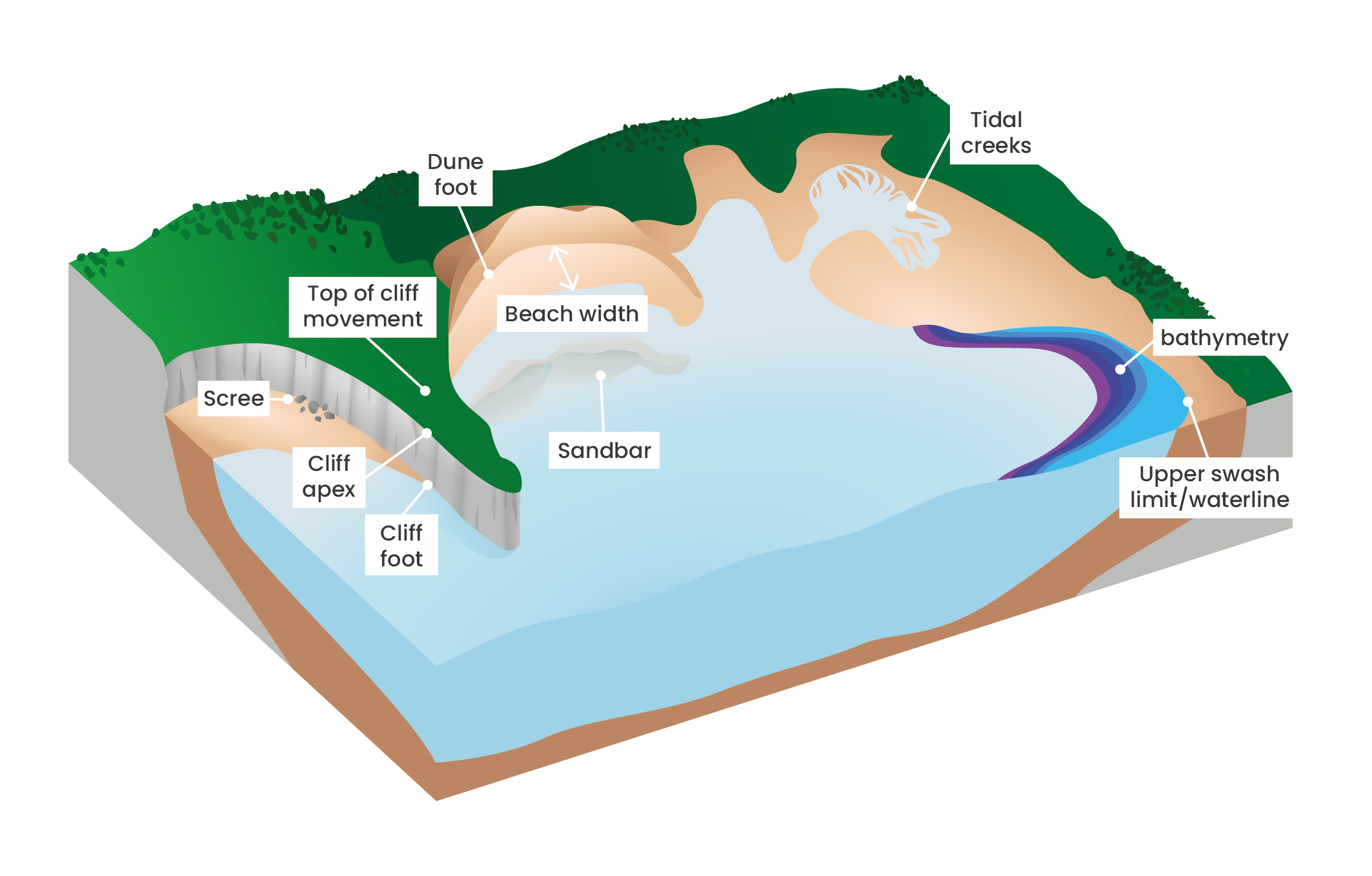
Assess coastal dynamics Observing changes from space to act on the ground The benefits of satellite monitoring A project based on the power of earth observation data for one of the world’s greatest concerns: the erosion of our coastline. Read more Morphodynamic indicators of erosion The range of coastal erosion indicators that can be derived from Earth Observation data provides valuable tools to help decision makers to mitigate coastal risks Read more Adapted multiscale surveys A solution fully adapted to the coastal environment and the user’s needs Read more