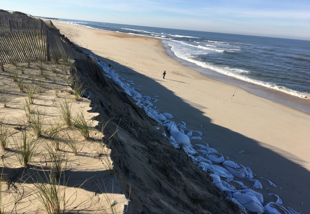
The Island of Sylt is exposed to the North Sea and each storms can cause dramatic datmage to the coastline. the coast of Sylt is protected by several measures such as sand nourishment and coastal potection constructions. The most southern part of the Island of Sylt is famous for its large sandy beach that undergoes major changes during the last years and left out from protection measures since 2015.
1. Obtain high accuracy for submerged sandbars and waterline indicators using Sentinel 2 (10 m spatial resolution) and Landsat 8 products (30 m spatial resolution). 2. Derive the 2 indicators from Landsat 5, Landsat 8 and Sentinel 2 archives.
The Portuguese coast, an environment exposed to high energetic waves, that has experienced a considerable coastal retreat (e.g. Costa Nova–Praia de Mira showed a maximum erosion rate of 5.8 m year in the period 1958-2010).