
The ESA Ocean Science Cluster involves a set of different ESA-funded scientific activities addressing different aspects of Ocean research.
i-Sea shared a special session with Argans (leader of the other consortium) to present the results of the successful project, and demonstrated the geoportal dedicated to the Space for Shore products.
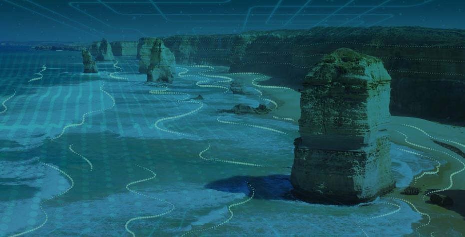
1 / Watching out large-scale shoreline monitoring in Europe, comparison study from the Portuguese, French, German, Romanian, Norwegian, and Greek sandy coasts.
Abstract – Presentation
2 / The submerged parts of the coastal picture
3 / Shoreline change assessment in Svalbard Archipelago
The ESA Ocean Science Cluster involves a set of different ESA-funded scientific activities addressing different aspects of Ocean research.
i-Sea presented the Space for Shore consortium and the ESA Coastal Erosion Programme with the launch of the 3rd phase of project, during the Coastal Session.
Presentation here
8th International Conference on Civil Protection ; New Technologies
SafeGreece a modern and efficient Civil Protection event with the synergy and coordinated actions by all the stakeholders related to Civil Protection (CP) and representing local, regional, national and international CP bodies, the public and private domains, the High-End Technologies and the Academic Community. The main aim of the initiative is to bring together all these stakeholders by organizing regularly conferences under the name Safe Greece with national and international participation.

I-Sea and partners will be at the ESA Phi-Week Conference in Frascati on September 9-13, 2019. You are a remote sensing specialist and wants to know more about the methods used for tackling coastal erosion issues, find us there to hear about the latest advancements of the ESA Coastal Erosion Project.
ESA Living Planet Symposium 2019 : Milano, 13 – 17 May 2019
Space for Shore presented by I-Sea and partners at the Coastal Erosion session Tuesday 14 May 16:00.
Big picture of this ambitious project at the end of the third year, at ESRIN, Frascati, Italy.
France:
Portugal (portuguese language):
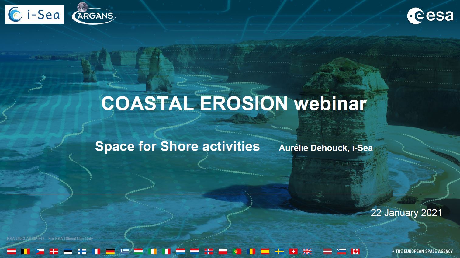
This webinar is addressed to Coastal Monitoring users, scientists, students, representatives from National, European and International Space Agencies, Value Adding Industries, Laboratories and Universities.
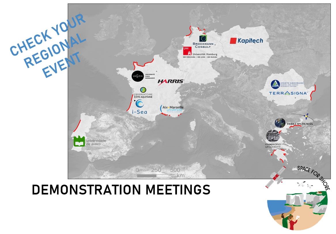
These regional events are regularly proposed to showcase the progress in terms of developments, optimizations, productions conducted during the project. Here are the meetings organised in 2020.
A major event in the life of the ESA Coastal Erosion Project occurred in Bordeaux, France on 14-15 January 2020. All partners including coastal end users of the 5 participating countries were there. The meeting shew satellite-derived products as prototyped in the 9 regions during this 1st year of the project lifetime. End users shared their feedback and assessed how relevant these new datasets are for their concern.

")